From geodata to a realistic landscape
For a test Telenor commissioned from Merkle in September 2025, I used OpenStreetMap data, Three.js and Nano Banana to turn geodata into a realistic landscape.
September 1, 2025
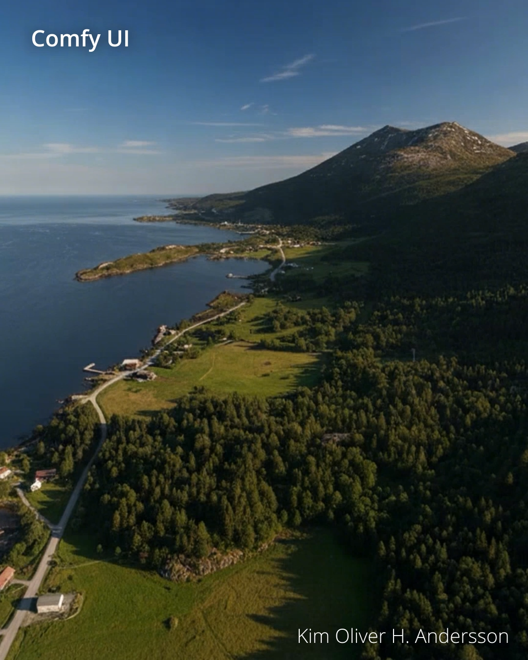
In September 2025, Telenor hired us at Merkle to test how geodata could be turned into a realistic landscape. I built the workflow, from the terrain model to the final result.
From map to landscape
The test shown here uses OpenStreetMap data. I built and textured the terrain in Three.js, then used Nano Banana to make it look more like a real place. We also tested variants using the Google Maps API (application programming interface).
The test in action
The video shows the stages: a map, the basic 3D model, the textured terrain, and the realistic result.
A test like this could be used to explore how a landscape might look from a chosen viewpoint, with the terrain model as the starting point.